Geography Overview
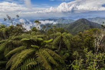
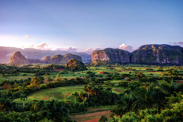
Cuba, the largest Caribbean island, is known for its diverse geography of mountains, plains, forests, and coastlines, which shapes its climate, agriculture, and development. Located east and west of the Gulf of Mexico, Cuba is between the Atlantic Ocean and the Caribbean Sea, giving it a rich diversity of ecosystems. About two-thirds of Cuba is covered by plains and lowlands. These plains and lowlands' rich, fertile soils provide ideal agricultural and farming conditions for farmers. The other one-third of the land is covered with rolling hills, mountain ranges, and forests. There are many mountain ranges in Cuba, including the Sierra Maestra, which is home to the highest mountain in Cuba: the Pico Turquino. Pico Turquino is located in the southeast part of Cuba and reaches 6474 feet above sea level. In contrast to its towering mountains, Cuba also has long coastlines that stretch through 3570 miles of land. This is helpful for marine life to better preserve the coral reefs. Cuba is also known for having extensive forests. Cuba’s largest forests are located in the Sagua-Baracoa highlands, which borders the eastern end of the Cauto River valley. The lushness of these forests is influenced by the island’s tropical climate, which consists two distinct seasons: the dry season (November to April) and the wet season (May to October). During the dry season, temperatures usually range from 70°C to 82°C with cooler evenings and less rainfall. This is also when most tourists visit Cuba because of the nice weather and abundant sunshine. During the wet season, temperatures increase into the upper 80-degree weather. Most tourists avoid going to Cuba during this season due to the hot and humid weather and heavy rainfall. Additionally, tropical hurricanes in Cuba often occur during the wet season from July to October. In 2024, the total rainfall in Cuba was 1335 millimeters, which is roughly four and a half feet tall. This can lead to many issues within the country, including floods and disruption of agriculture. Although Cuba receives a lot of rain every year, it does not have an abundance of bodies of water. The largest lake in Cuba is the Laguna de La Leche, which is roughly 25 square miles. This lake is well known because of its milky white water that is caused by limestones sitting at the bottom of this river, hence the name Laguna de La Leche (Milky Lagoon). The longest river in Cuba is called the Cauto River; it is located in the southeast near the Sierra Maestra. Cauto River spans 315 miles, nearly half of the total length of Cuba. Most Cuban rivers are relatively shallow, ranging from 3 feet deep to 5 feet. In conclusion, Cuba’s unique geography, from its fertile soils to high mountain ranges, plays an important role in shaping the country’s agriculture, climate, and ecosystems.
 |  |  |  |
|---|---|---|---|
 |
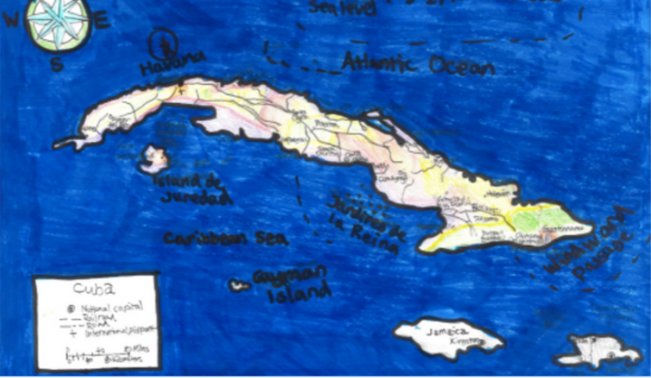
Major Locations in Cuba